Please use this identifier to cite or link to this item: https://hdl.handle.net/20.500.12544/2827
Sub-Andean Project: Geological maps to promote investment opportunities in remote areas of the Peruvian Subandean
Aug-2020
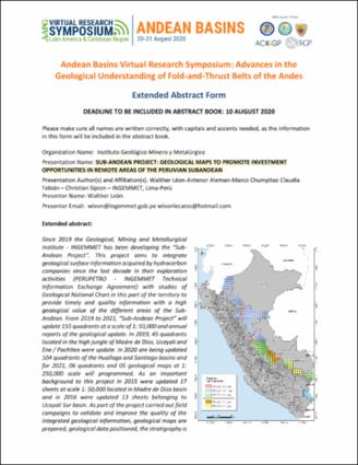
Since 2019 the Geological, Mining and Metallurgical Institute - INGEMMET has been developing the “Sub-Andean Project”. This project aims to integrate geological surface information acquired by hydrocarbon companies since the last decade in their exploration activities (PERUPETRO - INGEMMET Technical Information Exchange Agreement) with studies of Geological National Chart in this part of the territory to provide timely and quality information with a high geological value of the different areas of the Sub-Andean. From 2019 to 2021, “Sub-Andean Project” will update 155 quadrants at a scale of 1: 50,000 and annual reports of the geological update. In 2019, 45 quadrants located in the high jungle of Madre de Dios, Ucayali and Ene / Pachitea were update. In 2020 are being updated 104 quadrants of the Huallaga and Santiago basins and for 2021, 06 quadrants and 05 geological maps at 1: 250,000 scale will programmed. As an important background to this project in 2015 were updated 17 sheets at scale 1: 50,000 located in Madre de Dios basin and in 2016 were updated 13 sheets belonging to Ucayali Sur basin. As part of the project carried out field campaigns to validate and improve the quality of the integrated geological information, geological maps are prepared, geological data positioned, the stratigraphy is standardized and the main geological structures exposed in the called folded belts. The processing of all information collected is through an organized and standardized database processed in a GIS project in Geodatabase format.
AAPG. Virtual Research Symposium Latin America & Caribbean Region
Resumen extendido, 2 páginas. | Trabajo presentado en el Andean Basins Virtual Research Symposium: Advances in the Geological Understanding of Fold-and-Thrust Belts of the Andes, organizado por el AAPG, 20 y 21 de agosto, 2020.

Files in This Item:
File Description SizeFormat 
Leon-Sub-Andean_Project_Geological_maps.pdfResumen extendido1.38 MBAdobe PDFView/Open


This item is licensed under a Creative Commons License Creative Commons