Browsing by Subject Imágenes Landsat
Showing results 21 to 26 of 26
< previous
| Preview | Issue Date | Title | Author(s) |
|---|---|---|---|
 | 1998-04 | Fotointerpretación de imágenes Land Sat 5: cuadrángulos río Cauchio (11-m), río Samaira (11-m), Bretaña (11-ñ) | Albán Avila, Carlos A. |
 | 1998-12 | Fotointerpretación de imágenes Land Sat 5: cuadrángulos río Mazan (7-o), Huanta (7-r), Pebes (7-s), rio Nanay (8-o) | Albán Avila, Carlos A. |
 | 1997-02 | Fotointerpretación de imágenes Land Sat 5: cuadrángulos Tarapoto (13-k), Papa Playa (13-l), Dos de Mayo (13-m) | Albán Avila, Carlos A. |
 | 1997-08 | Fotointerpretación de imágenes Land Sat 5: cuadrángulos Tocache (17-j), Uchiza (17-k) y Aucayacu (18-k) | Albán Avila, Carlos A. |
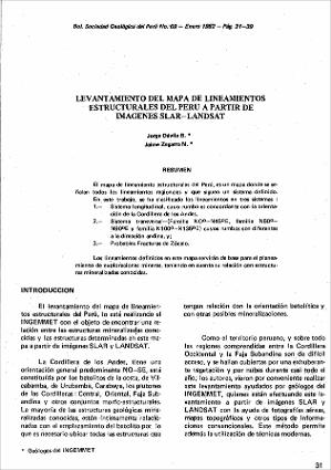 | 1982-01 | Levantamiento del mapa de lineamientos estructurales del Perú a partir de imágenes Slar-Landsat | Dávila Burga, Jorge; Zegarra Navarro, Jaime |
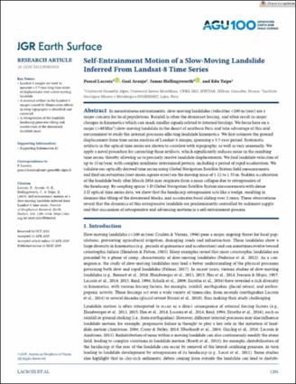 | 2019-04 | Self‐Entrainment Motion of a Slow‐Moving Landslide Inferred From Landsat‐8 Time Series | Lacroix, Pascal; Araujo Huamán, Gael Estefany; Hollingsworth, James; Taipe Maquerhua, Edu Luis |


