Please use this identifier to cite or link to this item: https://hdl.handle.net/20.500.12544/2480
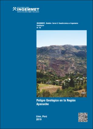
Peligro geológico en la región Ayacucho - [Boletín C 70]
Dec-2019
INGEMMET, Boletín Serie C: Geodinámica e Ingeniería Geológica;n° 70
The Ayacucho region, located in the south-central sierra of Peru; it occupies zones comprised between the Western Cordillera, the inter-Andean valleys, the Eastern Cordillera and the volcanic cones fringe. Ayacucho extends from altitudes that vary from 250 m a.s.l. in the town of San Francisco in the Eastern Cordillera, to above 5,505 m a.s.l. in the Sara Sara volcano; geographically located between 12º 07 ‘30’ ‘and 15º 37’ 00 ‘’ parallel of south latitude and 72º 50 ‘19 “and 75º 07’ 00” west longitude of the Greenwich meridian. As a result of the inventory and hazard mapping at a scale of 1: 50 000, the interpretation of aerial photographs from 1962 and 1963, high-resolution Google Earth satellite images, identified 1 390 occurrences of hazards, of which the number of occurrences it is distributed in the following way: first we have the flows, followed by the erosion processes of hillsides, landslides, landslides, falling rocks, complex movements, soil creep, erosion and fluvial flooding. In the study, 31 critical zones were identified related to geological hazards (by mass movements) and geohydrological (flooding and fluvial erosion), among which are: section of the Los Libertadores road in the sectors of Pampamarca and Chachococha; the valley of the Yucaes river between the towns of Pamparqui and Muyurina; Pongora river, Company sector; road section between Julcamarca and San Antonio de Pischa; sectors of Acoylla, Santa Lucía and Urayparte in the district of Socos; Socos-Luyanta road in the district of Socos; cerro Picota in Ayacucho; Chumbes in the district of Ocros; Cangallo; San Francisco; Rosary beads; Santa Rosa; Sectors of Jivicha and Yanacocha in Andamarca; Cochalla in Puquio; Mayapo; Sivia and Llochegua. Finally, thematic maps presented and elaborated with the help of geographic information systems (GIS), are important as a prevention tool, providing an important basis for planning, and contribute to solving the problem of geological hazards in the region.
Instituto Geológico, Minero y Metalúrgico - INGEMMET
Vilchez, M.; Ochoa, M. & Pari, W. (2019). Peligro geológico en la región Ayacucho. INGEMMET, Boletín, Serie C: Geodinámica e Ingeniería Geológica, 70, 232 p., 9 mapas.
232 páginas 9 mapas.

Files in This Item:
File Description SizeFormat 
C070-Boletín_Peligro_geológico_Ayacucho.pdfBoletín Ingemmet C-7077.91 MBAdobe PDFView/Open
C070-Mapa_1_cobertura_vegetal.pdfMapa cobertura vegetal24.38 MBAdobe PDFView/Open
C070-Mapa_2_litológico.pdfMapa litológico32.08 MBAdobe PDFView/Open
C070-Mapa_3_hidrogeológico.pdfMapa hidrogeológico28.14 MBAdobe PDFView/Open
C070-Mapa_4_pendientes.pdfMapa de pendientes14.82 MBAdobe PDFView/Open
C070-Mapa_5_geomorfológico.pdfMapa de pendientes33.31 MBAdobe PDFView/Open
C070-Mapa_6_inventario_de_peligros.pdfMapa de pendientes24.62 MBAdobe PDFView/Open
C070-Mapa_7_susceptibilidad_mm.pdfMapa de susceptibilidad mm34.73 MBAdobe PDFView/Open
C070-Mapa_8_susceptibilidad_ief.pdfMapa de susceptibilidad ief30.23 MBAdobe PDFView/Open
C070-Mapa_9_zonas_criticas.pdfMapa de zonas críticas13.78 MBAdobe PDFView/Open


This item is licensed under a Creative Commons License Creative Commons