Browsing "Estudios e Informes técnicos" by Subject Imágenes de satélite
Showing results 35 to 38 of 38
< previous
| Preview | Issue Date | Title | Author(s) |
|---|---|---|---|
 | 1999-03 | Regional study of applied satellite data for evaluation of resource potential in the Northern Area of the Republic of Peru, Phase II | Mitsui Mining & Smelting; Mitsui Oil Exploration |
 | 1999-03 | Report on the geological survey in the Urubamba river inferior area of the Republic of Peru (Phase I) | Japan International Cooperation Agency |
 | 1977 | Report on the geological survey in the Urubamba river inferior area of the Republic of Peru. Final Report | Japan International Cooperation Agency |
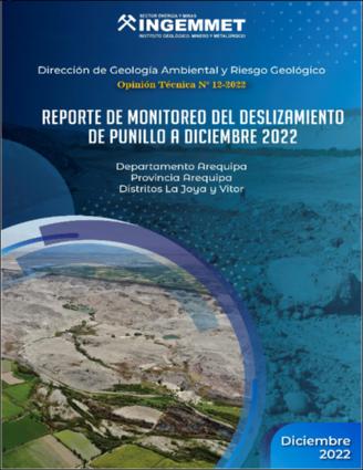 | 2022-12 | Reporte de monitoreo del deslizamiento de Punillo a diciembre 2022. Distritos La Joya y Vítor, provincia Arequipa, departamento Arequipa | Instituto Geológico Minero y Metalúrgico. Dirección de Geología Ambiental y Riesgo Geológico |


