Please use this identifier to cite or link to this item: https://hdl.handle.net/20.500.12544/4182
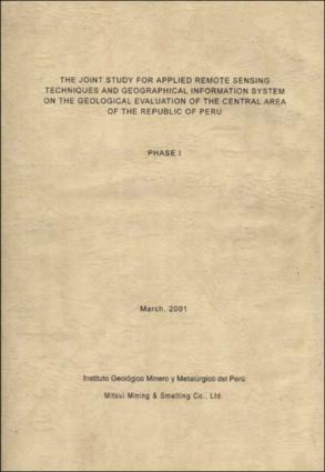
The joint study for applied remote sensing techniques and geographical information system on the geological evaluation of the Central Area of the Republic of Peru. Phase I. The study of applied aster data techniques for the determination of the geological settings forming a skarn type ore deposit
Mar-2001
The study area covers the Central Andean region of the Republic of Peru where a lot of skarn type metallic ore deposit such as Huanzala zinc-lead deposit, Pallca zinc.lead deposit and Anta Mina copper-zinc deposit occurs. This study aims evaluate the applicability of ASTER data for the determination of the geologic settings forming a skarn type ore deposit. Regional analysis using LANDSAT TM data was consequently executed and new promising areas for metallic ore deposit are selected out. The study was carried out with the collaboration of Instituto Geológico Minero y Metalúrgico del Perú “INGEMMET”. The study clarified that the spectral analysis using ASTER data was effective to detect the geologic settings forming skarn type ore deposit when the surface mineral indication is remarkable such as in Anta Mina deposit and Pallca deposit. Mineral mapping using ASTER data did not always provide the favourable results. Field survey to get the ground data must be performed and the re-evaluation of analyzing results should de done in the second phase. Detailed analysis using ASTER data is needed on the new promising areas selected by the LANDSAT TM regional analysis.
Instituto Geológico, Minero y Metalúrgico - INGEMMET
102 páginas

Files in This Item:
File Description SizeFormat 
Ingemmet-The_joint_study_applied_remote_sensing_Peru.pdf26.17 MBAdobe PDFView/Open


This item is licensed under a Creative Commons License Creative Commons